

Return to audio interview | Next episode | Explore UC Science Radio
Molly Magid: Welcome to UC Science Radio, where we interview a range of postgrad students to tune into the fresh voices entering the world of science and learn what sparked their passion. I’m Molly Magid, a Master’s student in the School of Biological Sciences.
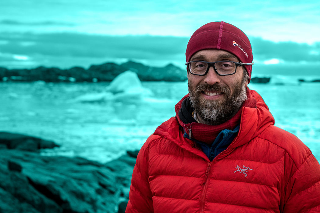
Today I’m talking with Rodrigo Gomez-Fell. He’s a PhD student studying Antarctic Studies. His research focuses on ice tongues, which are narrow sheets of ice that form at the end of glaciers and move rapidly from the coastline into the ocean. He uses remote sensing data from satellites and other tools to monitor the mass balance, flexure, and movement of ice tongues in the Western Ross Sea.
Kia ora Rodrigo, welcome to UC Science Radio.
Rodrigo Gomez-Fell: Kia ora Molly
So you’re studying Antarctic Studies, but specifically what’s your research about?
RG: Using remote sensing, specifically SAR data, that's synthetic aperture radar, so these kind of images are good for studying polar regions because they're active satellites, so it actually sends a pulse towards the surface of the earth and the backscatter, the return signal, you can see that from the satellite and that creates images that aren't interfered with, mainly by clouds or if it's night or day, so you can have continuous data, year round.
So, I can see, for example, sea-ice, a particular type of sea ice that is land-fast sea ice which is attached to the coast, so it is not moving, so it's not as dynamic. So that can sort of pin down those ice tongues. And I can see the variation in the velocity of those ice tongues during the seasons, so when you have less or more fast ice. And that’s important because it effects these dynamics, and from these ice tongues there is the mass from the interior of the continent going outside. So that effects sea level rise, and all these things, but also we can learn more about how fast ice effects this floating ice, this land ice, that's floating. And we can then not only see changes in the future for that area, but also what's happening in other areas, nowadays. Like we know already that the lack of sea ice, or land-fast sea ice, in some part of Antarctica has triggered the disintegration of ice shelves. Like Larson B, for example, was triggered for a period of time, longer than usual, of lack of sea ice pinning it. There's other things that also effect it, but this was kind of the drop that went over the glass, so to speak.
So you're having these satellites out in space, looking down at the Earth at this particular place in Antarctica, and then monitoring every so often so that you can see how it's changing on a smaller scale, is that the idea?
RG: Sort of yeah, like satellite area, if we fast-forward to now, in the last five years, we have had a few constellations of satellites that give us images, freely-available, every twelve days of any given point on the Earth with decent resolution. And that makes possible what I’m trying to do, that actually trying to see those ice tongues, those things that are protruding to the sea and how different those conditions in boundary of the ice-ocean boundary interaction, are affecting it. Ice tongues are floating land ice that is affected by land-fast sea ice more than sea ice itself, because sea ice is freely dynamic, so it moves, but land-fast sea ice is attached to the coast and it can affect land ice that is flowing towards the sea.
And using these images, are there other things you can learn just from the images or from other tools?
RG: First you don't just look at the image and just look what is happening over there. You just need at least two more and you start looking at the changes in them and use different tools or processing of those. Like interferometry, that's a combination of the phase of two SAR images to look into displacement.
And people used that for earthquakes, for example. If you get an earthquake, the Earth moves a little bit, could be centimetres, millimetres, but you can observe that from space. And glaciers are moving all the time, so you can see that movement. If you get two images you can figure out the difference between two images and say "Ok that moved, the velocity of such and such" and from that surface velocity of what you're seeing, using the physics and mathematical equations, you can infer depth and glacier loss and stresses and things like that. So that you can feed them into models, for example, and modelers can then project these glacial fluctuations into the future or into past, so you can better understand what will happen in the future or what happened in the past.
But also, you need ground validation. Ground validation is super important, because you're seeing something and you're assuming something, but also you're not there, you're not actually getting the real measurement. There's also some distortion because you're using computers. The signal goes through 500 kilometres anyway, so there's atmospheric corrections and stuff like that, so you need to be sure that what you're seeing from space is the same thing that you can measure on the site.
That makes me interested in what your path to this work was, so how did you get here to doing this research?
RG: I am from Punta Arenas. So that's the southern part of Chile, that’s the very end of South America going south. And it's another, you know that Christchurch is the gateway city to Antarctica, so there are about five gateway cities to Antarctica. So gateways are these pathways to go into researchers will go through these hubs to enter to the continent. So Punta Arenas will be the Chilean one. So I knew sort of Antarctica, I knew about Christchurch. I wanted to study in an English-speaking country that had Antarctic studies. I thought maybe in the US, I thought about England and other places in Europe. But then I heard about Gateway Antarctica and the heterogeneity of the people doing work over here, so you got social sciences people who are studying from policy-making to tourism, and we have a little biology from the microscopic things to the top predators, and also the geophysics from satellites to ground measurements, so I thought it was a cool place to go and study.
What's the most fun or exciting part of your work?
RG: Besides field work? I would say field work is a lot of fun, and I love it. Besides that, it's being able to look into places, just sitting at your desk, and looking at places from space. Like all these satellites, they are 500 kilometres upwards in the troposphere, and they're taking images every day, and you can get those and infer information, you can use them to understand these glaciological problems, and I find it very exciting.
So my last question for you is, if you could see one big change come out of your research, what would that be?
RG: One, I'm working on all the Western Ross Sea and the coast, the Victoria Land coast. And there's a big chunk of that that’s not well-studied. There's are not many studies about it or none at all. So that's a big contribution for one-side, so the local, what's happening over there. So also this is a very stable part of Antarctica, we haven't seen a lot of change in the last 50 years, so we can have a pretty good picture for the future. Let’s say in the next 25 years from now, we start to see changes, we can say "ok, why are these changes coming?" We will already have that base, so that's quite important.
But also, for better understanding, how these different drivers like land-fast sea ice affect this floating ice, we can also infer for other parts of Antarctica and see what's going to happen over there. It will be important for other parts that are having major stresses because of changes in Earth's climate.
Thank you so much for talking with me.
RG: Thank you Molly, for inviting me.
Return to audio interview | Next episode | Explore UC Science Radio
