

Introduction
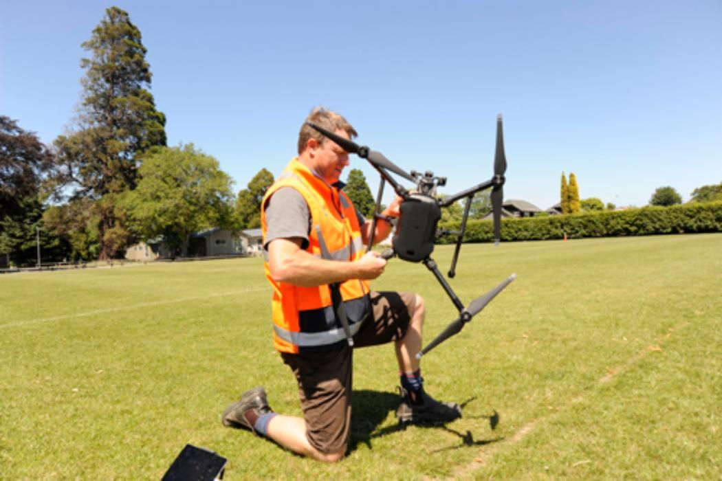
The DJI Matrice 200 and 210 have been used in the department for a number of research projects including survey mapping of glaciers and geological sites, whale monitoring, fire observations and more. It has a number of camera options available for it including IR, Multispec and up to 4k video. We also have a Klau Geomatics PPK GNSS system for cm accurate mapping with little to no ground control (thus saving hours of field and lab work when creating 3D maps). The Matrice 210 has a dual gimbal system to allow multiple payloads and also has a top mounted gimbal available for looking above the drone. This drone flies for around 18 to 25 minutes depending on payload and battery type.
Latest projects
- Whale analytics in Rarotonga
- Frontiers abroad NVDI mapping on Banks penisula
- Infra red observations of fire in Rakaia Gorge
- Glacial terminus mapping Fox Glacier

