


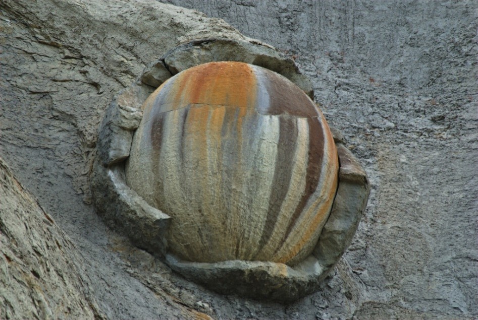
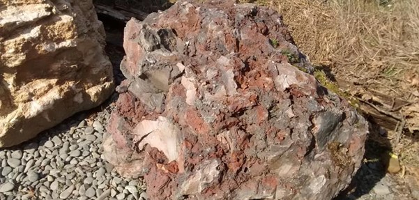
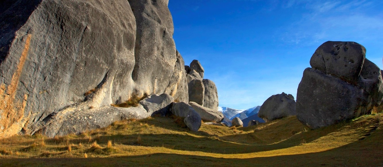
The North Canterbury region is slowly being squeezed in front of our Australian and Pacific plate boundary. Gentle folds across the region are pushed up along faults, making the distinctive ranges and valleys of this wine growing and farming region, cored by the older marine sandstones and mudstones of the Torlesse Supergroup (colloquially known as greywacke). These folds also expose many different sedimentary rock layers, representing the Zealandia continent’s separation from the supercontinent Gondwana, around 100 million years ago, subsequent drowning beneath the waves, and finally rapid uplift as our plate boundary activated along the Alpine Fault. Most of the sedimentary rocks are marine and some are as young as 5 million years old in the northern part of the North Canterbury region. These represent the more recent areas of the South Island to be dragged up from the oceans, one earthquake at a time, a process no more well illustrated than during the 2016 Kaikōura Earthquake sequence, where some areas along the coast were lifted up to 10 m at once.
Menu
About UC
Mō UC
Campus & community
Study
Ako
Study information
Life
Te Ao o UC
Student life
Support
Research
Rangahau
About our research
Research groups & projects
News and Events
Rongo o te Wā
Latest News and Events
About UC
Mō UC
Campus & community
Study
Ako
Study information
Life
Te Ao o UC
Student life
Support
Research
Rangahau
About our research
Research groups & projects
News and Events
Rongo o te Wā
Latest News and Events
About UC
Mō UC
Campus & community
Study
Ako
Study information
Life
Te Ao o UC
Student life
Support
Research
Rangahau
About our research
Research groups & projects
News and Events
Rongo o te Wā
Latest News and Events
About UC
Mō UC
Campus & community
Study
Ako
Study information
Life
Te Ao o UC
Student life
Support
Research
Rangahau
About our research
Research groups & projects
News and Events
Rongo o te Wā
Latest News and Events
About UC
Mō UC
Campus & community
Study
Ako
Study information
Life
Te Ao o UC
Student life
Support
Research
Rangahau
About our research
Research groups & projects
News and Events
Rongo o te Wā
Latest News and Events
Privacy Preferences
By clicking "Accept All Cookies", you agree to the storing of cookies on your device to enhance site navigation, analyse site usage, and assist in our marketing efforts.
General enquiries
0800 827 748 (within NZ)
+64 3 369 3999
Emergency contact details
Ext: 92111 (from a campus landline)
Direct dial: 0800 823 637
University of Canterbury | A Fair Trade University
