Spatial Data Science
Introduction
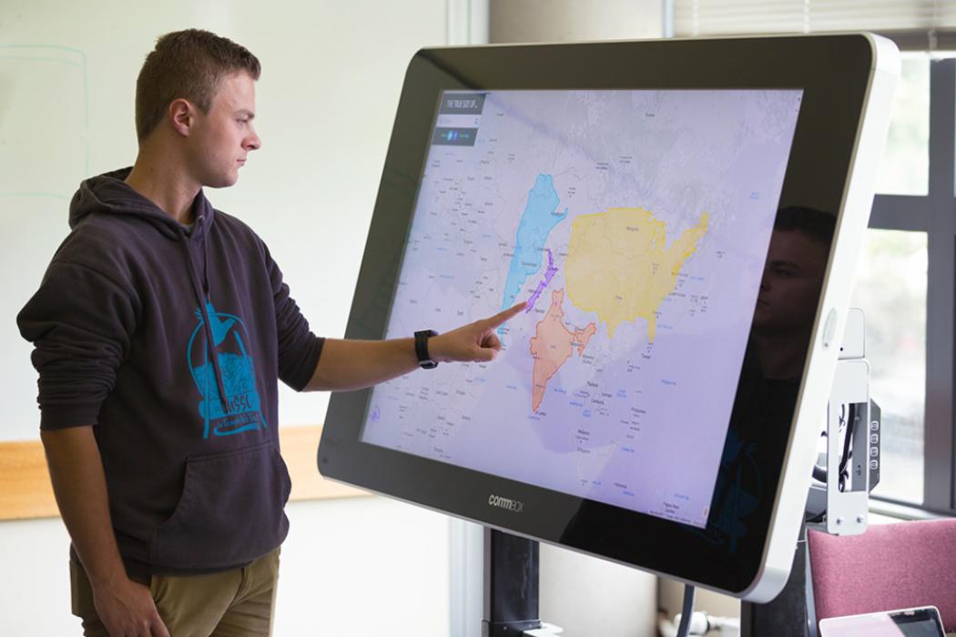
Spatial Data Science is an emerging field that combines art and science to explore spatial geographical data through visual and computational technologies to understand why activities and events occur in certain environments or spaces.
You will gain knowledge in Geographic Information Science (GIS) including using digital cartography, remote sensing, geomapping, and other visual data interfaces to interpret and analyse insights from the data. This can be helpful in conducting search and rescue operations, predicting potential disaster outcomes, planning smart cities, and more.

